
Large Topographical Survey of Metal Mine
Rapidly capturing high quality data
With a large scope of 500ha in a single survey area an efficient fixed wing drone is required, leading photogrammetry software and a powerful computing platform.

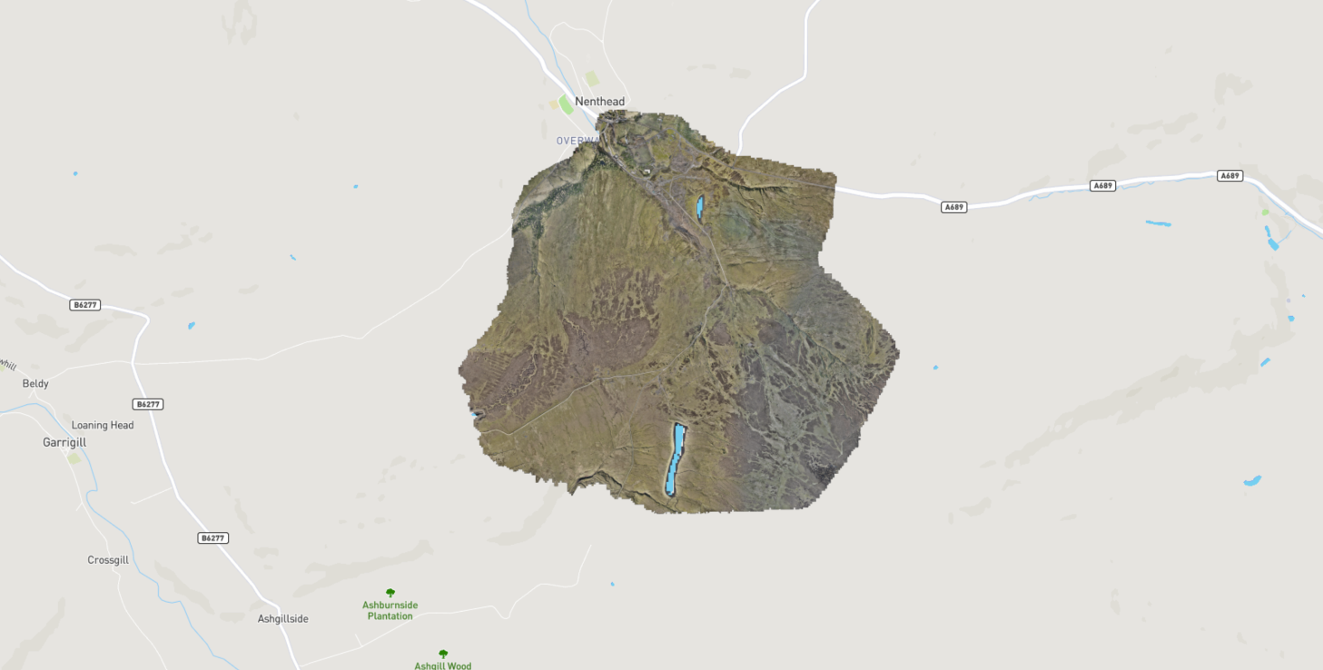
DSM of survey area
We were commissioned to complete a topographical survey of a former metal mine in Cumbria.
This area is approximately 510ha in size. Given the surveys were completed in winter and this site is at about 450m meters above sea level, weather and particularly wind presented a challenge.
The survey window was quite small due to land management issues.
-

Equipment
The Wingtra One drone was a key enabler for this programme of work. With its high quality sensors, survey grade GNSS, vertical take off and relatively high operating speed it was the right drone for this work.
-

Ground Control and Checkpoints
Ground control and check points were established across all the whole site using survey grade GNSS. Given the location and type of ground this involved a lot of walking.
-

Processing Capability
We used the industry leading PIX4D Matic for photogrammetry processing and Beamworx to produce charts. Both these applications require high end computing platforms to process large surveys quickly and efficiently.