Water Quality and Pollution Mapping
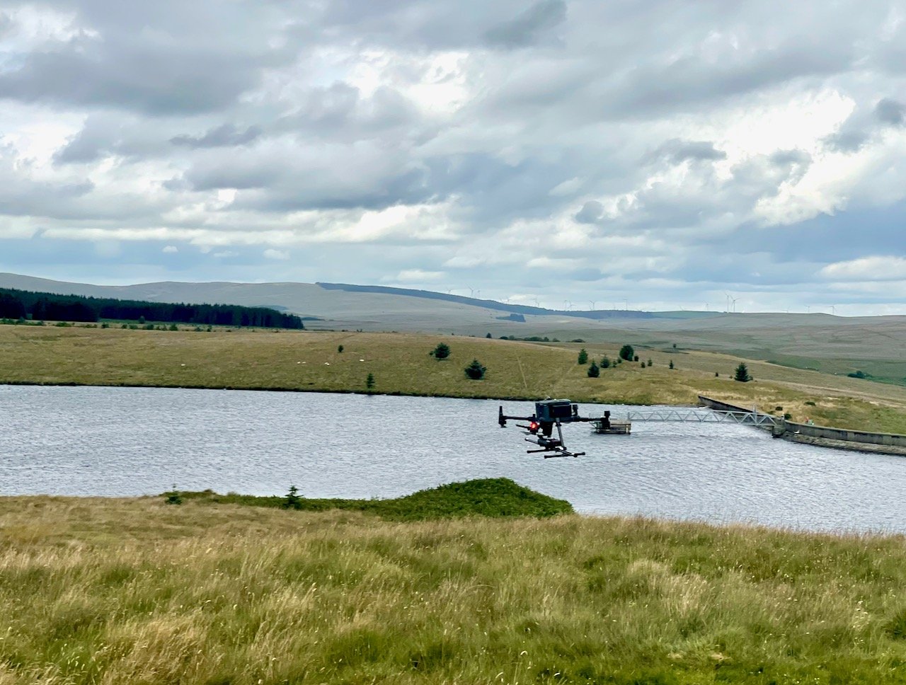
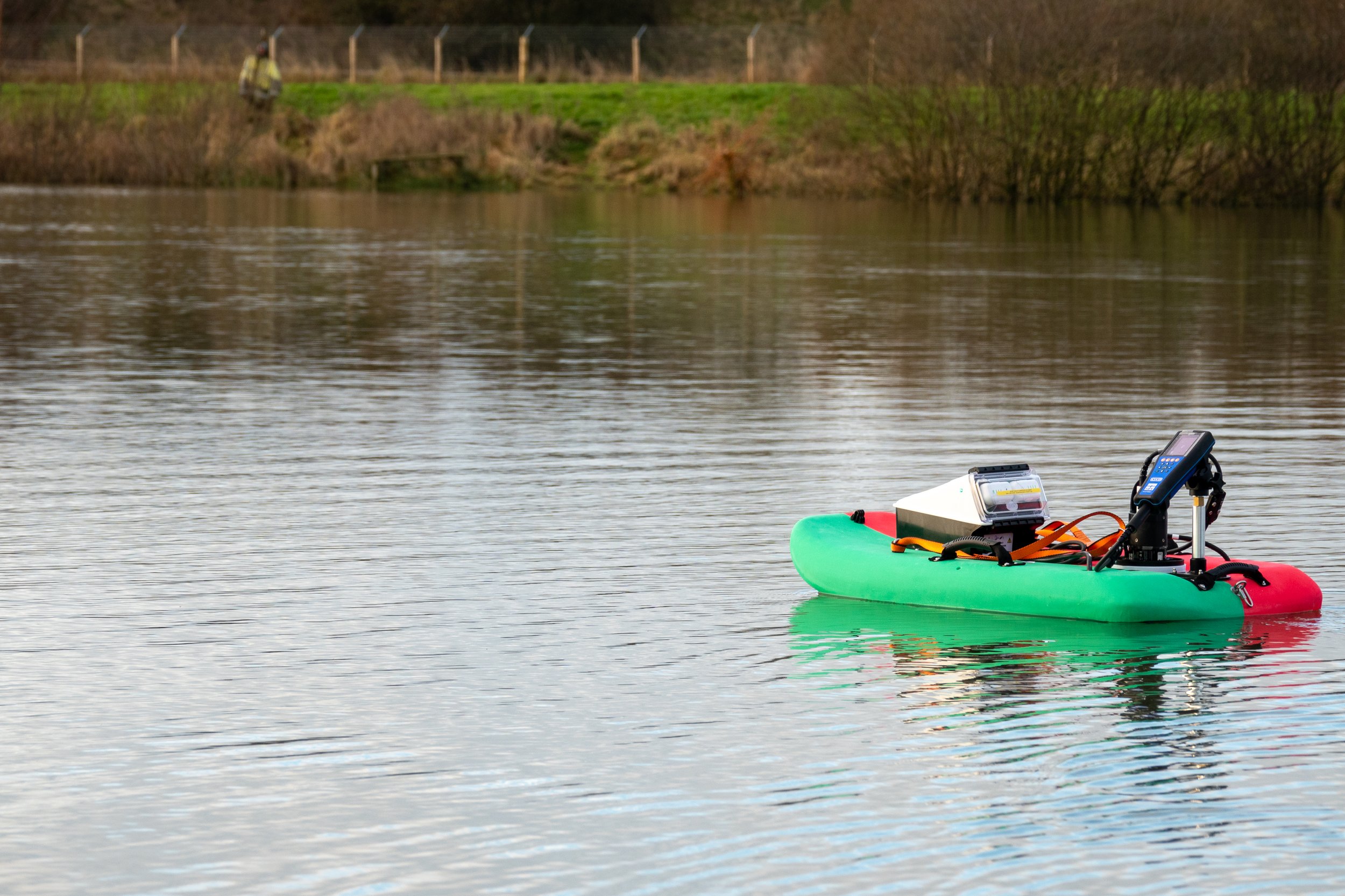
Using a small unmanned boat we can map dissolved pollutants and other key water health indicators.
What are the benefits of unmanned boat water quality surveys?
Access those difficult areas: where there is insufficient draft to enable a full size boat to operate in a location a unmanned boat should be able to as the draft requirement is very small.
Increased speed of survey: Mobilisation is typically slow with a marine project using a boat, but using an unmanned boat is considerably faster.
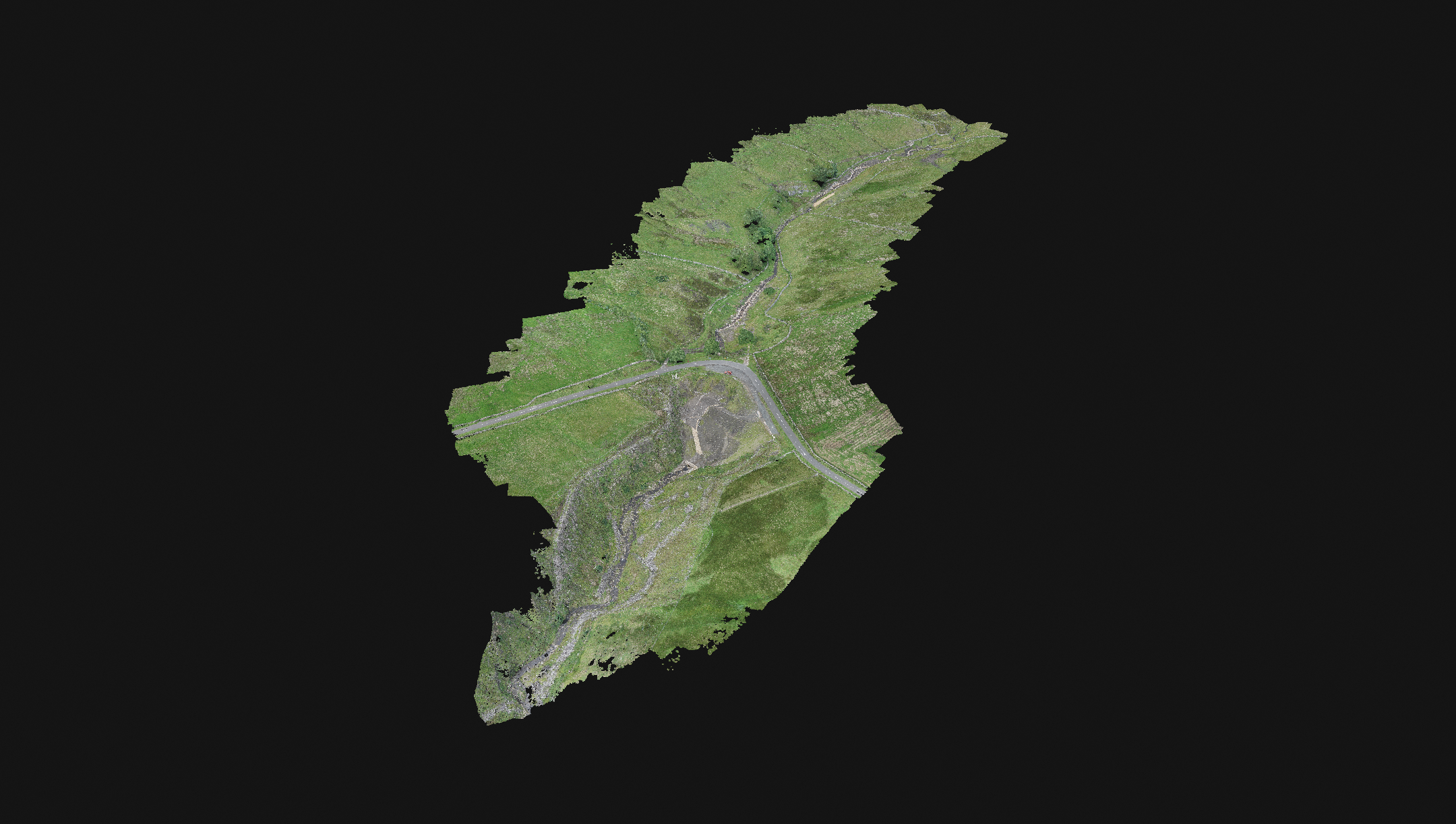
Merging data: Drone mapping data can be merged with drone sonar data to crate a complete picture of the area.
Data can be mapped: Measurements can be taken over a wide area and mapped to assist in understanding sources and the dynamics of the pollutants in the water.
Increased safety: With access to the water only required at the side of the water the risk to staff operating the boat is limited.
Pinpointing sources: Mapping an area provides the opportunity to pinpoint sources of pollution.
The Sensor Platform
The unmanned boat is based on the DUO Torrent Board and has been optimized for using with the industry leading Sonde sensors. The rugged Torrent Board can withstand harsh water quality, moderate flow conditions and can be carried to site in a backpack allowing for great deployment flexibility.
What can we measure?
At this time we have a range of sensors for the platform including:
Dissolved Nitrate
Conductivity
Water Temperature
Turbidity
Dissolved Oxygen
Dissolved Organic Matter
Other sensors can be added as required.
Mapping the data
The multi-parameter instrumentation on board allows for concurrent measurement of key parameters imperative to understanding, protecting, and improving aquatic habitats. Baseline sampling and monitoring of water quality provides a record of changes in quality over time. This data record can help quantify change associated with best management practices as well as inform decisions.
Talk to us
Give us a call to discuss your project and to see if it is a good fit for this technology.
EDIT BUTTON


