Digital Twins
Create accurate and detailed models of your assets or even city level models for planning.
What are the benefits of drone digital twins
Reduce field time and survey costs: Capturing a large digital twin is considerably faster with a drone than other approaches.
Provide accurate and extensive data: The use of drones equipped with survey grade GPS (RTK/PPK) and appropriate ground control delivers accurate and repeatable results.
Map otherwise inaccessible areas: A drone can take off and fly almost anywhere. You are no longer limited by unreachable areas, unsafe steep slopes or harsh terrain unsuitable for traditional measuring tools.
Deliver cost effective, visually exciting models for visualisation: The models are a full representation of the area at a point in time and can be used to place planned buildings and infrastructure in context.

What is a digital twin?
A digital twin is a virtual replication of a physical object or process. It’s more than just a 3D model it’s a representation that contains all of the data relevant to the object. A complex digital twin could have sufficient data to complete simulations of using the object or process or it could contain all the details needed to manage the object (building) over its life. Drones act as airborne scanners which can turn buildings/construction sites into 3D models in a process called photogrammetry.
Clearly a drone can’t capture all of this rich data, but it can capture the physical model and form a starting point for a more detailed model.

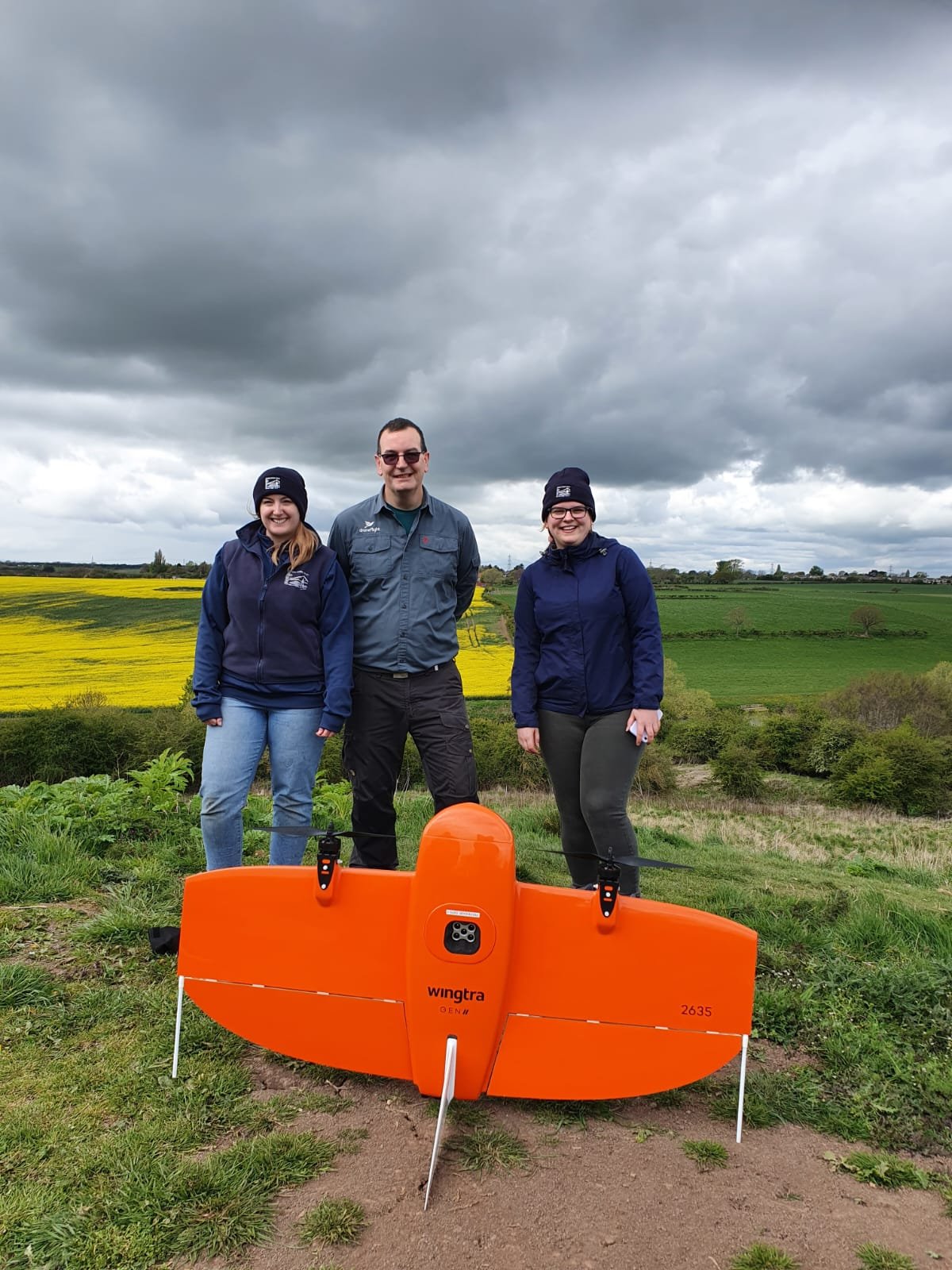
WingtraOne GEN II
WingtraOne GEN II has a unique set of features that make it an ideal platform for surveying and mapping. It is a vertical take off and landing drone, this means it can operate in more confined areas than a traditional fixed wing drone.
The ground breaking oblique payload enables the production of high quality digital twins that can be captured very efficiently. For more information click here.
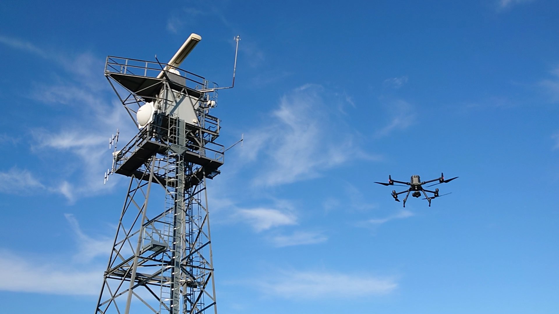
DJI M300 and P1
The DJI M300 is paired with the 45MP DJI P1 camera to provide a great multirotor based platform for photogrammetry data capture. The flexibility of a multirotor drone enables vertical scanning of objects and very close photography to create mm levels of detail in models (usually for heritage buildings). This setup provides a powerful platform for creating a digital twin.

Processing the data
We process our data using industry leading tools and for a detailed mesh model we use Bentley Context Capture.
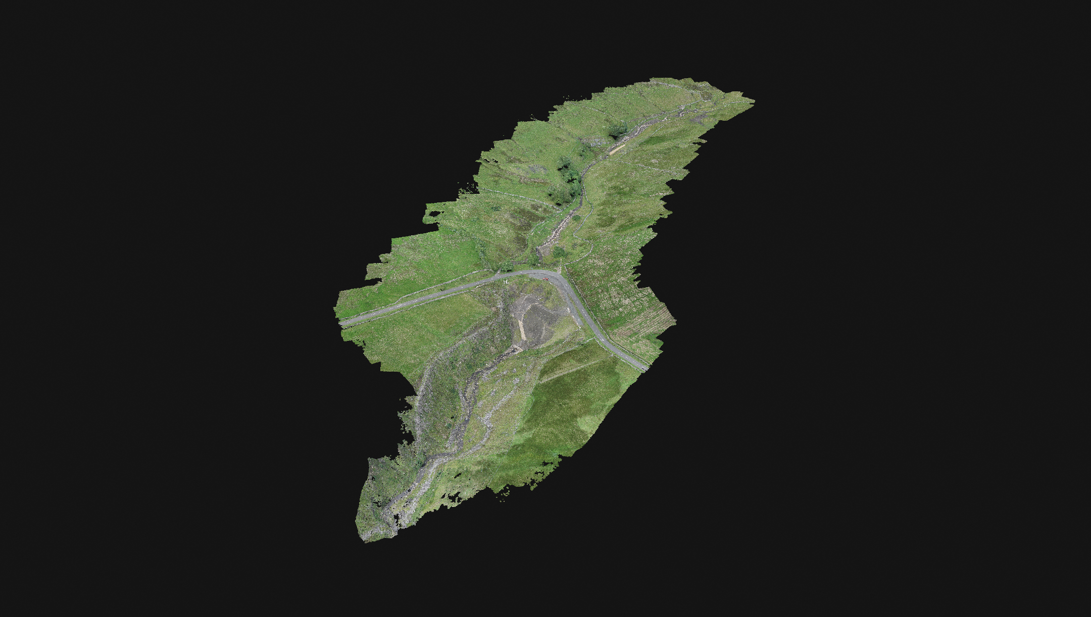
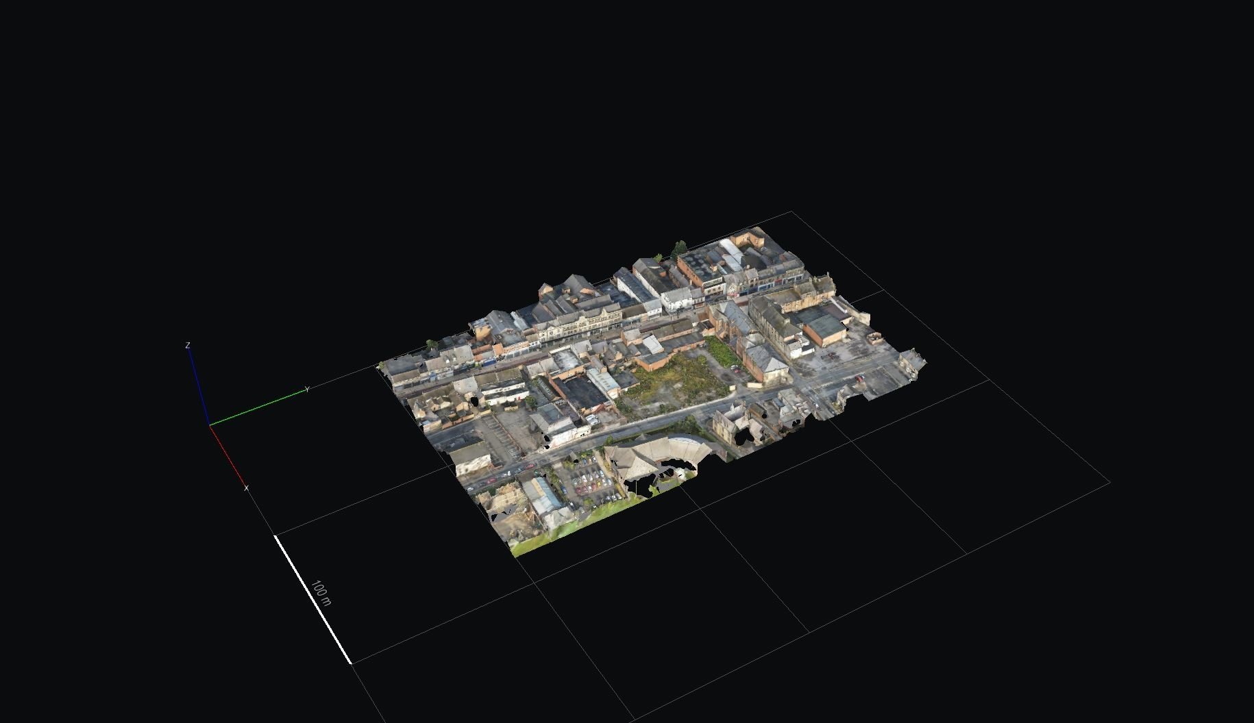
The model to the left was captured using the Wingtra One GEN II drone at 110m above ground level, using the oblique camera. The key benefit of this system is the speed of capture enabling hundreds of HA to be quickly captured.
This video was not "filmed" it started life as a set of photographs that had been captured using the Wingtra One oblique camera flying at 100m AGL. The advantage of this is that very large areas can be captured very quickly at a level of detail suitable for concept design and visualisation.
The photos were processed into a 3D model, then design elements added: house, trees, cars, an office building, helicopter and more. A fly through was rendered into a video.
Visualisation models of buildings can be placed into their real context assisting with stakeholder management and gaining feedback on a design.
Case Studies
Modeling Jetties
We were commissioned by our client to capture a digital twin and produce of CAD drawings of an area containing 3 industrial jetties on Teesside.

Construction Site Progress Digital Twin
We were commissioned to complete a construction progress survey of a small development using photogrammetry to create a digital twin.