Mapping Giant Hogweed
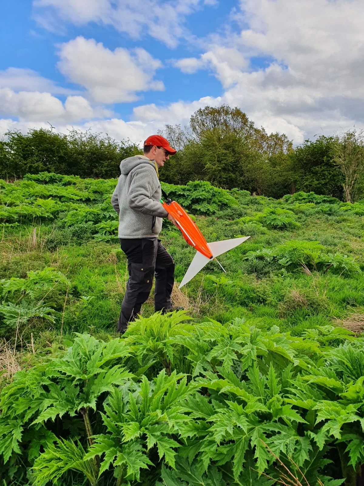
We have been out with the Wingtra looking for invasive species…..
We are running a research project into mapping Giant Hogweed using RGB and Multispectral data. We are mapping a problem area on the river Tees with the Tees Rivers Trust. As we have been capturing this data over time the impact of the control work can be seen over time and the data might be able to help predictions of future spread.
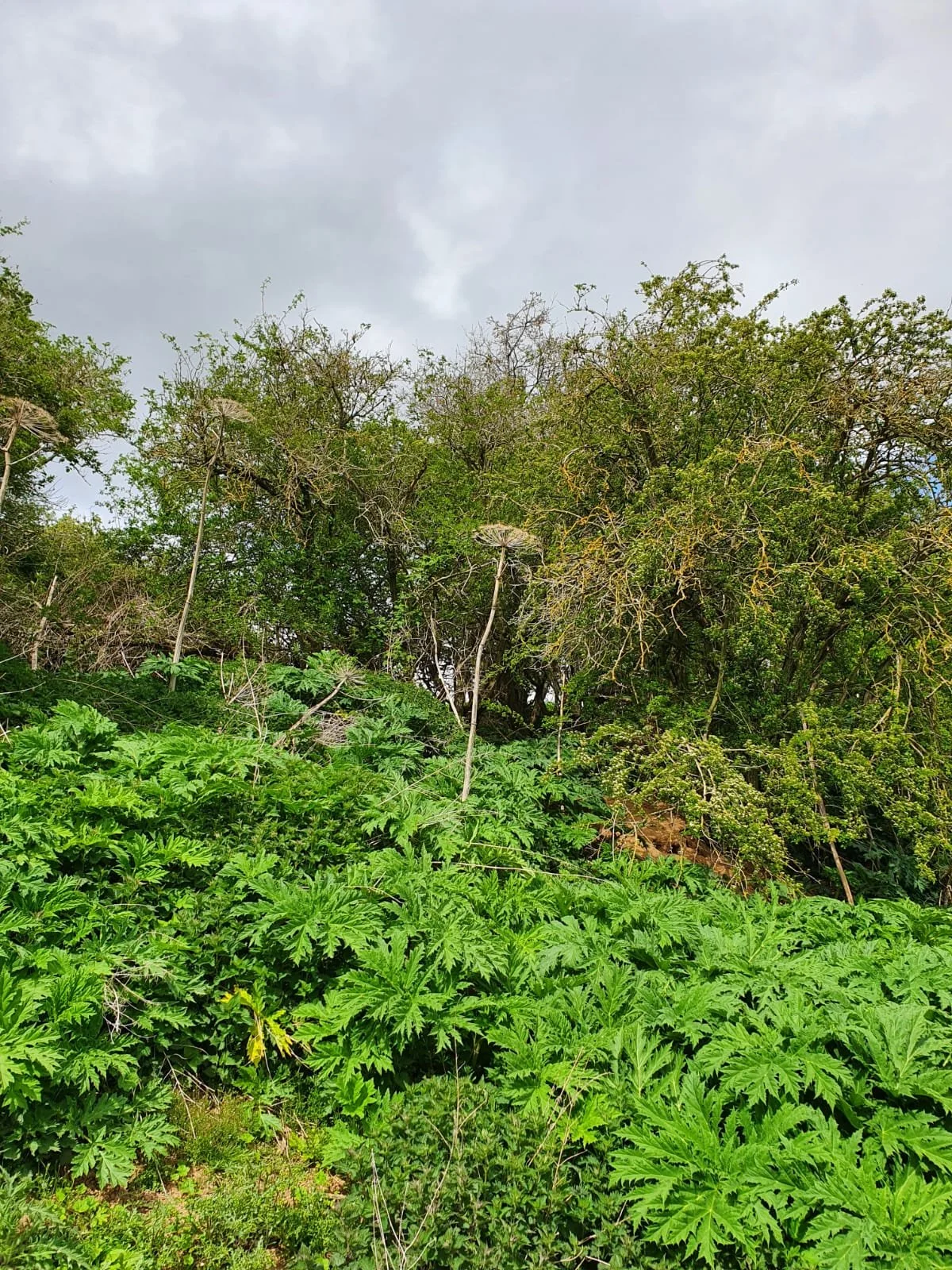
Giant hogweed is an invasive plant species that can grow up to five meters tall and poses a significant threat to the ecological health of rivers and streams. The Tees Rivers Trust is taking proactive steps to manage the spread of this invasive species.
Giant hogweed is native to the Caucasus region and was introduced to the UK in the 19th century as an ornamental plant. It is now considered a highly invasive species due to its aggressive growth and ability to outcompete native plants. The plant can also cause severe skin irritation, blistering, and scarring if it comes into contact with human skin.
The use of drones for mapping giant hogweed offers several advantages. Drones can cover large areas of the riverbank quickly and efficiently, providing high-resolution imagery that can be used to identify the plant with greater accuracy than traditional ground-based surveys. Drones can also provide better location data and illustrate the real extent of the infestation, which can help develop targeted management strategies.