Invasive Species Mapping
Rapidly capture and zone areas for intervention
What are the benefits of using a drone for invasive species mapping?
Reduce field time and survey costs: Time on site is vastly reduced compared to ground based human methods. In addition some species can be zoned using AI or more easily identified with multispectral data.
Provide accurate and extensive data: The use of drones equipped with survey grade GPS, zoning information can be used with autonomous sprayers or to configure spraying on traditional equipment (where it supports this).
Drone data delivers a baseline at a point in time: Comparisons can be made over time to assess the perfomance of control methods or to provide data to funding orgnisations.
Map otherwise inaccessible areas: A drone can take off and fly almost anywhere. You are no longer limited by unreachable areas, unsafe steep slopes or harsh terrain.

Invasive non-native species
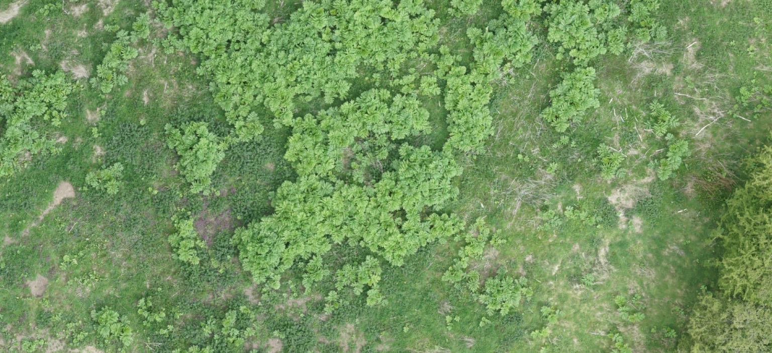
Invasive non-native species (INNS) such as Giant Hogweed, Japanese Knotweed and Himalayan Balsam can outcompete native species and can be a danger to humans and other wildlife. Giant Hogweed is particularly dangerous to humans.
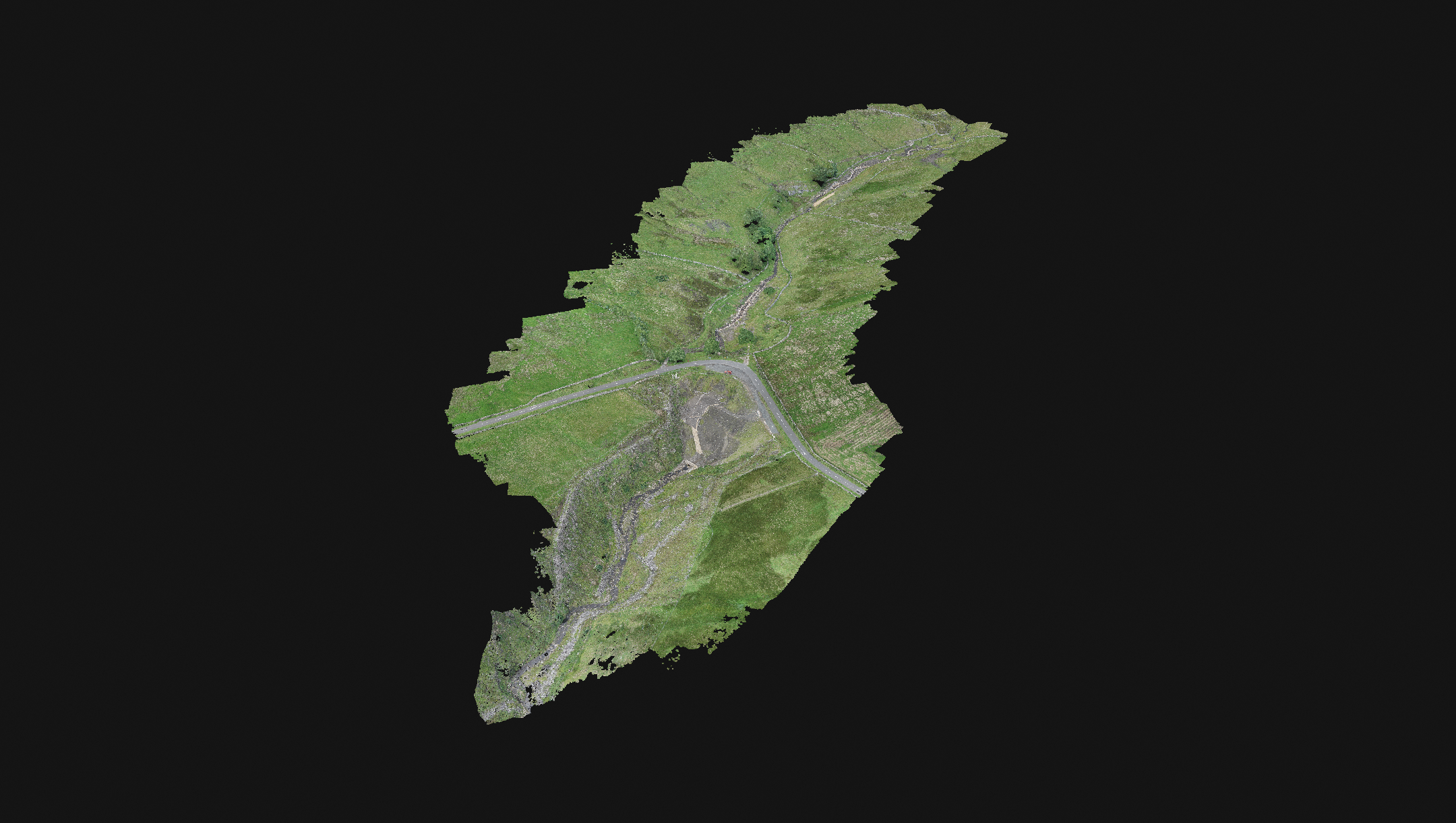
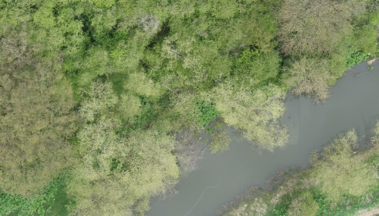
Traditional approaches to identification and mapping these, involve people on the ground, often in difficult terrain and this is relatively slow.
Right is an image of a multispectral analysis of giant hogweed.

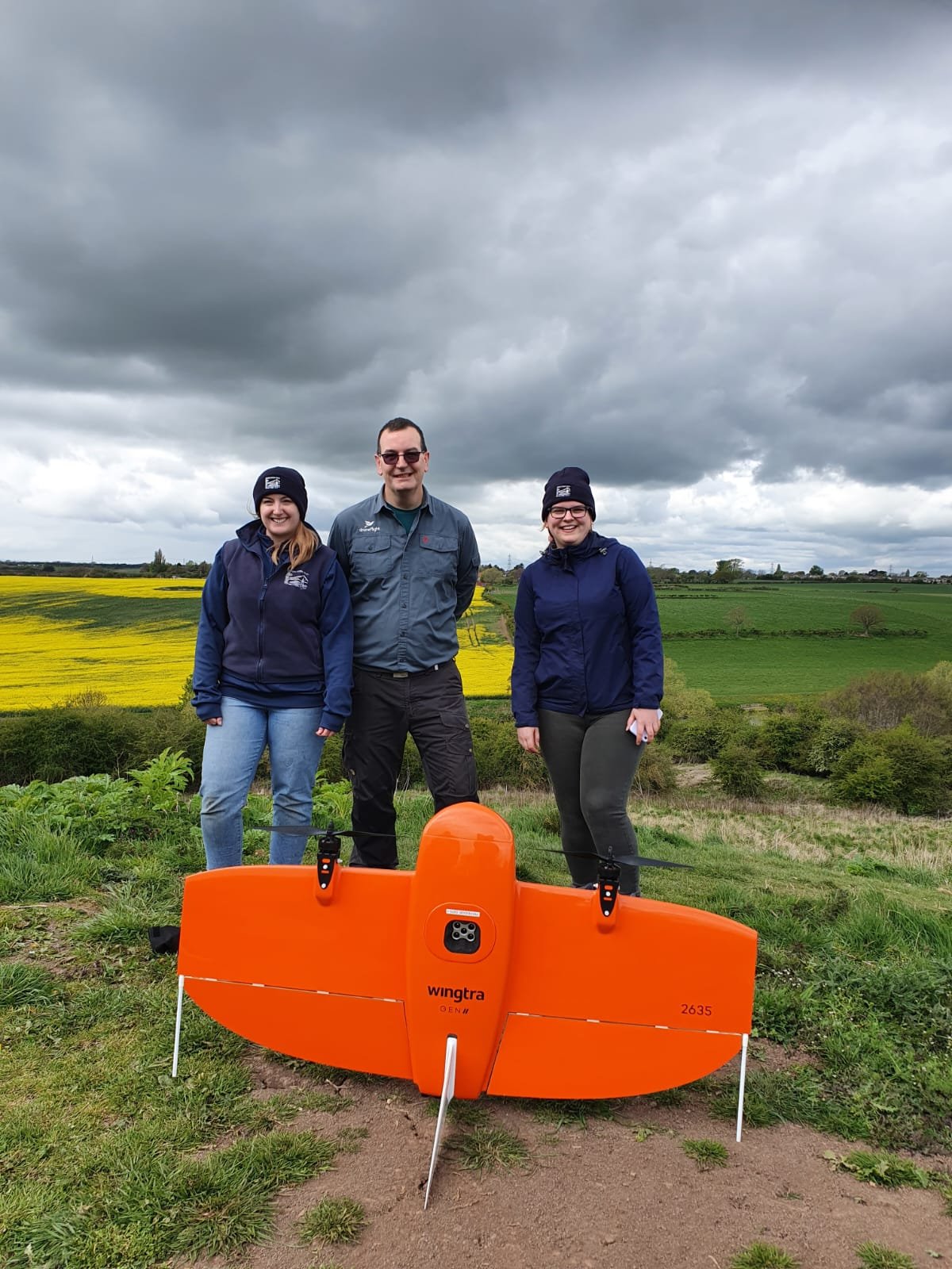
WingtraOne GEN II
WingtraOne GEN II has a unique set of features that make it an ideal platform for mapping invasive species. It is a vertical take off and landing drone, this means it can operate in more confined areas than a traditional fixed wing drone.
The WingtraOne GEN II can deliver high accuracy RGB and multispectral data for analysis.

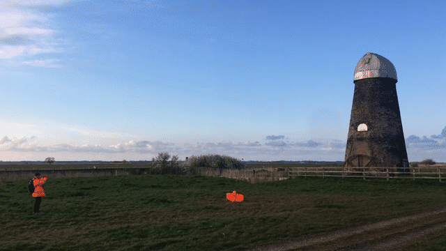
Ground Truthing
Ground truthing is a key part of the process of zoning the captured maps. It is important to have a number of verification points where the species has been identified to enable a check of the zoning process. Where this process is completed using an AI platform the ground truth is used to teach the AI platform.
Ground truthing is also key when looking to identify new species that we have not analysed before.

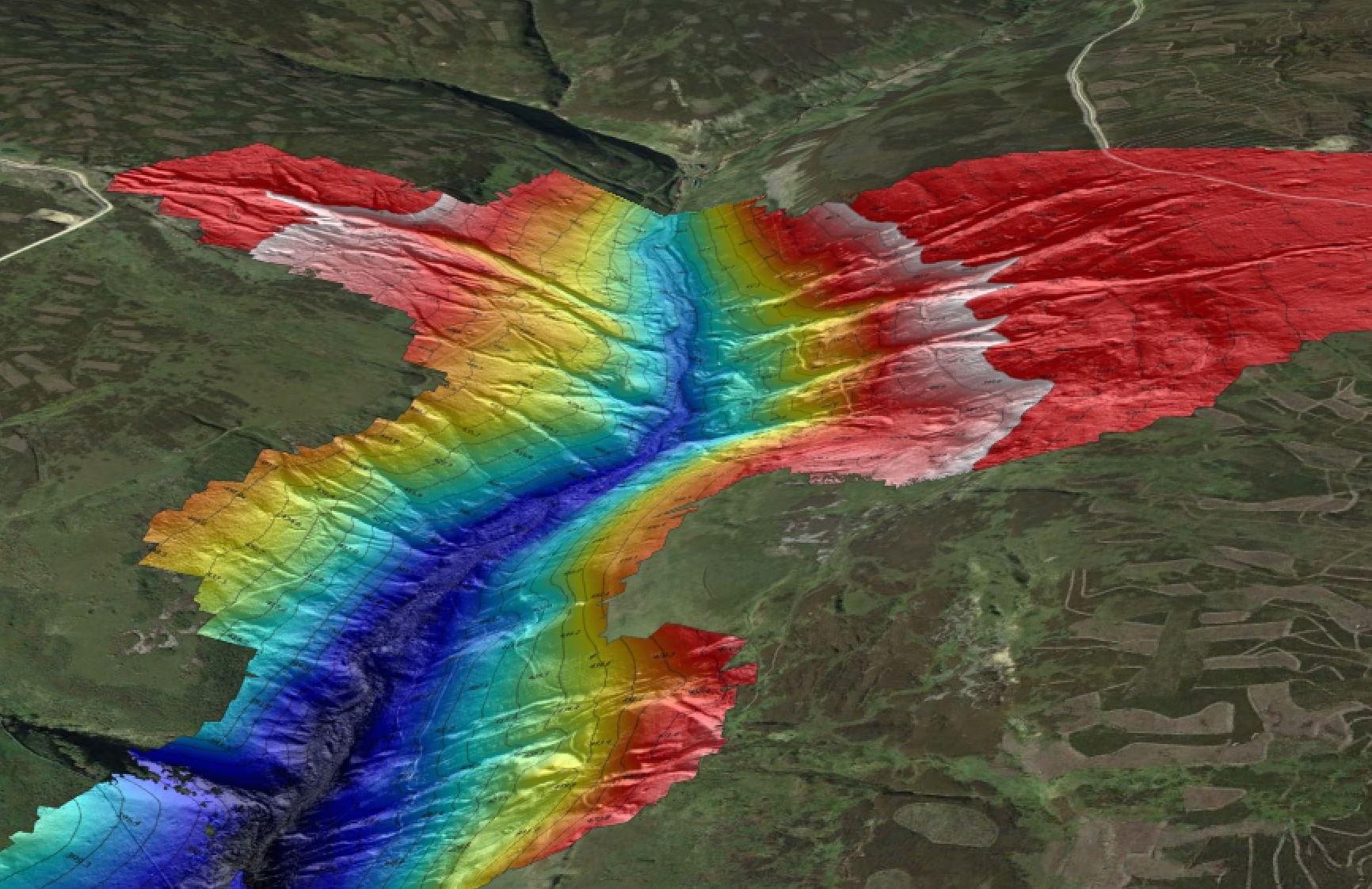
Processing the data
We initially process the data in either PIX4DMatic or PIX4D Fields, zoning is completed in a number of tools (manual or AI) depending on the required output.