
UXO Survey - River Thames
Providing critical data to reduce the UXO risk of strategic construction projects
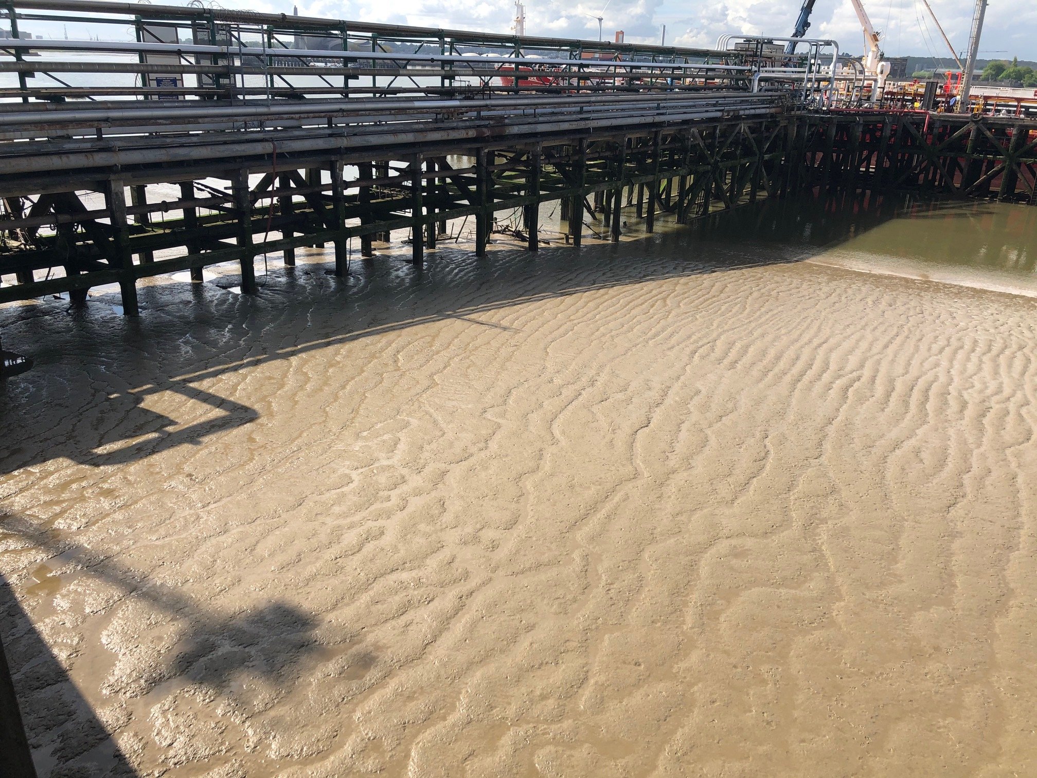
Access, Access, Access
There are some locations that just lend themselves to a drone UXO survey. Intertidal mud on the river Thames is one of them. Too shallow for a boat, too dangerous to walk over.

Droneflight were commissioned as part of a programme to replace a jetty on the river Thames to conduct a magnetometry UXO survey of the intertidal area around the jetty.
One of the key challenges of a UXO survey completed with a drone is that the drone is flown at very low level (typically 1m above ground). In this environment, access to the ground was not possible, the drone would be flown below the pilot who would need to be on the harbour wall to keep visual line of sight.