
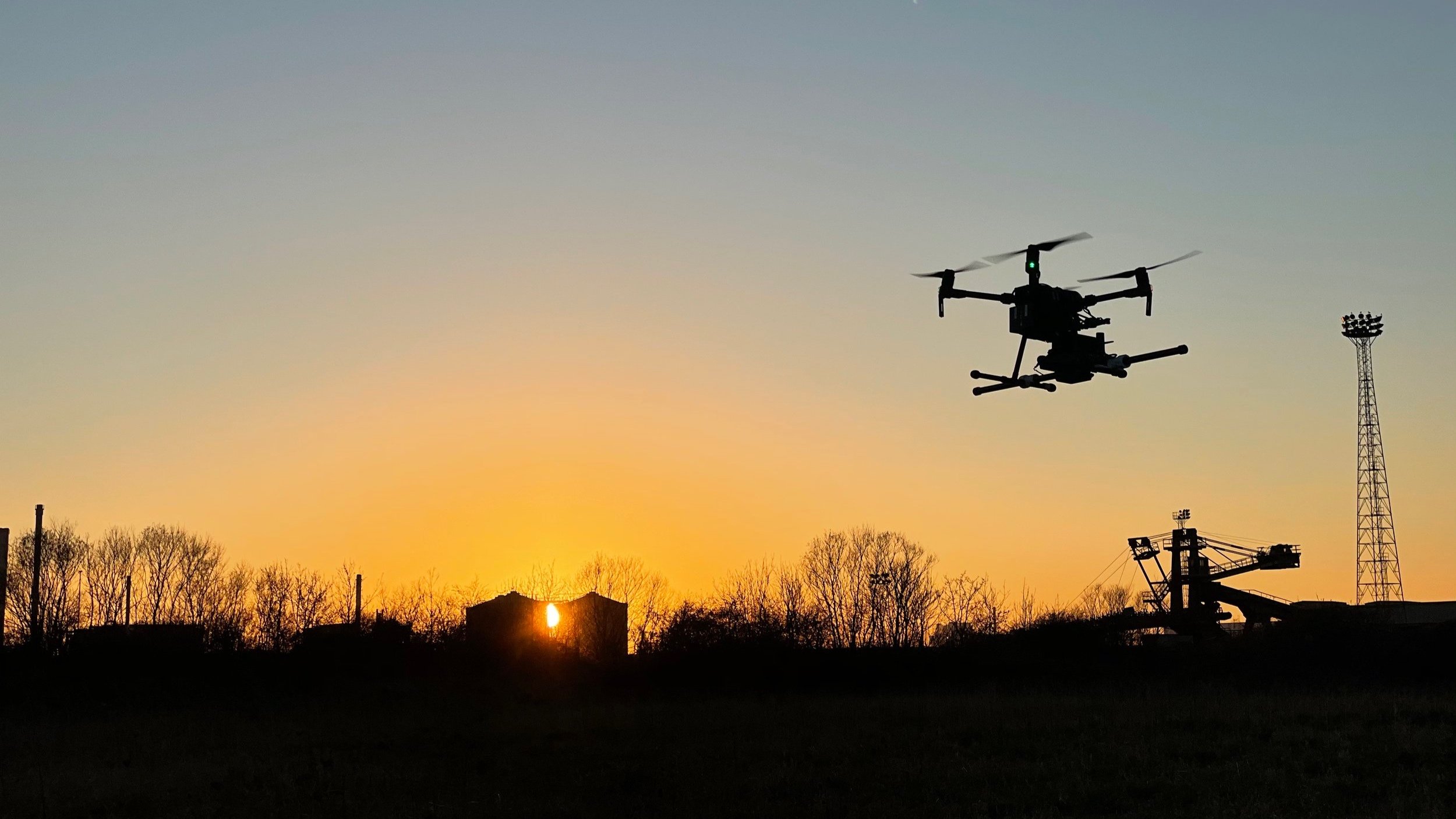
Acquiring actionable data remotely
There’s more to drones than photos and videos - we can find unexploded ordnance (UXO), model underwater, identify invasive species, collect water samples and map huge areas with high levels of accuracy.
Our mission is to help our clients gain access to high quality and efficient drone data for their projects.

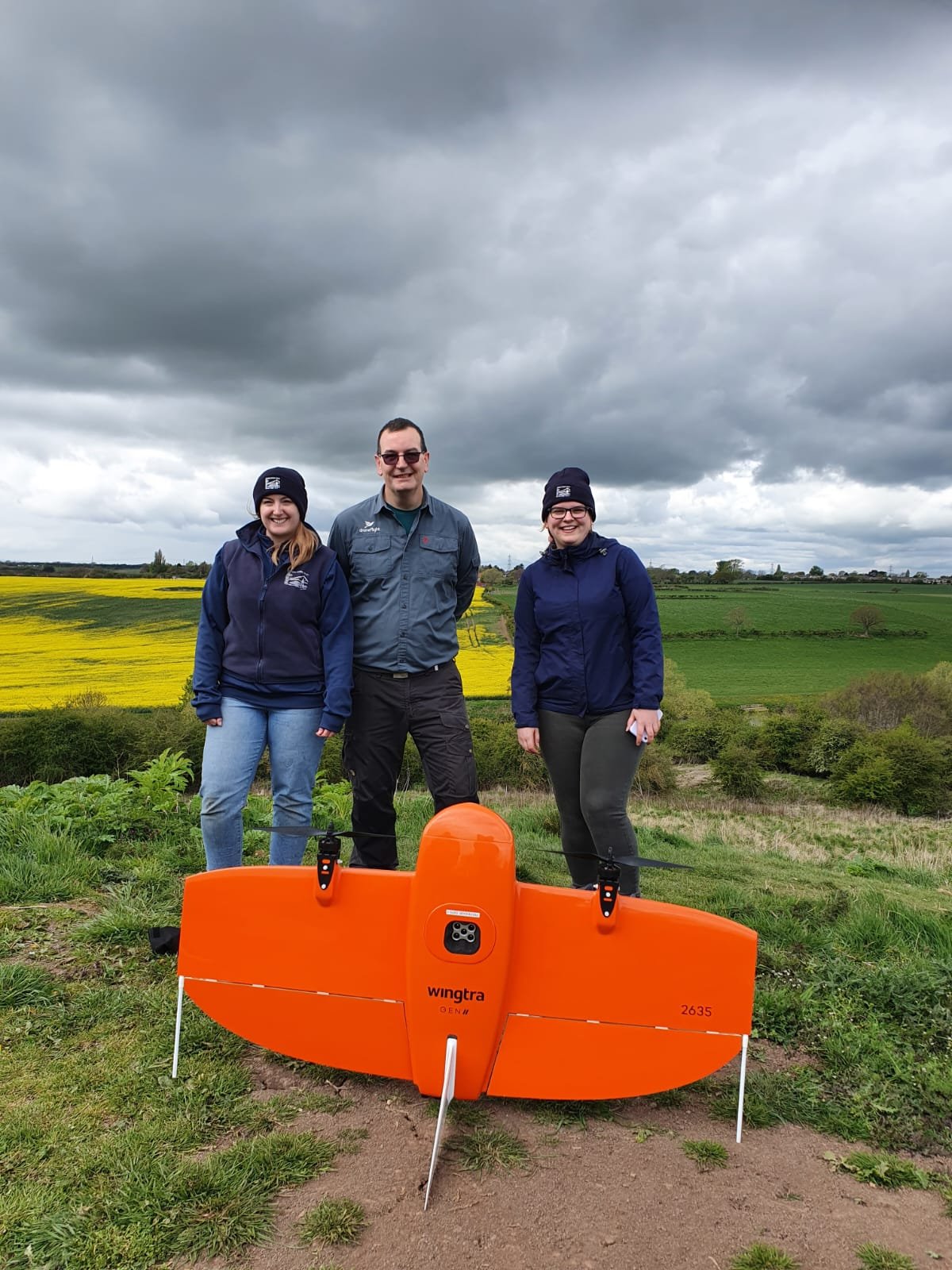
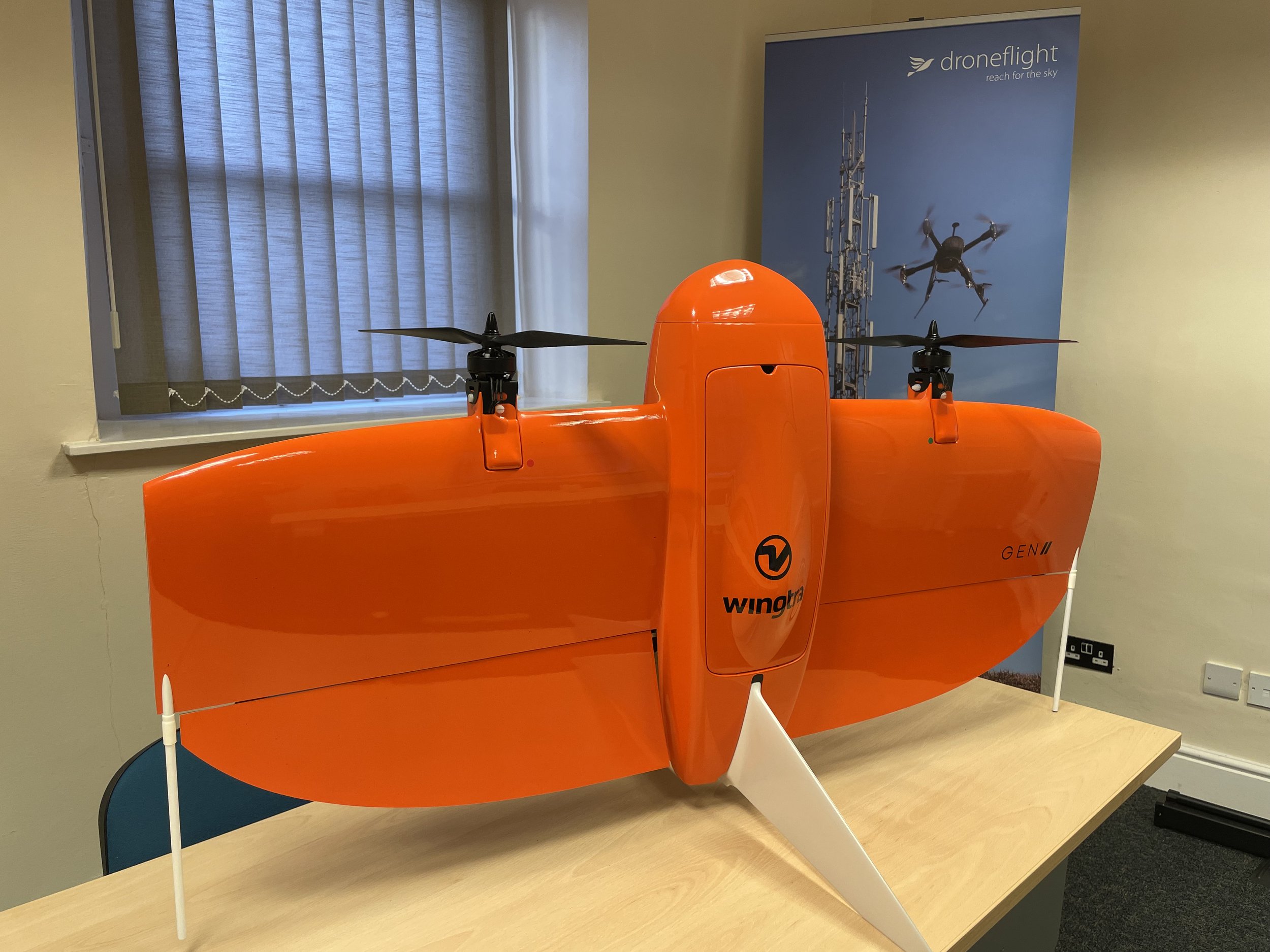
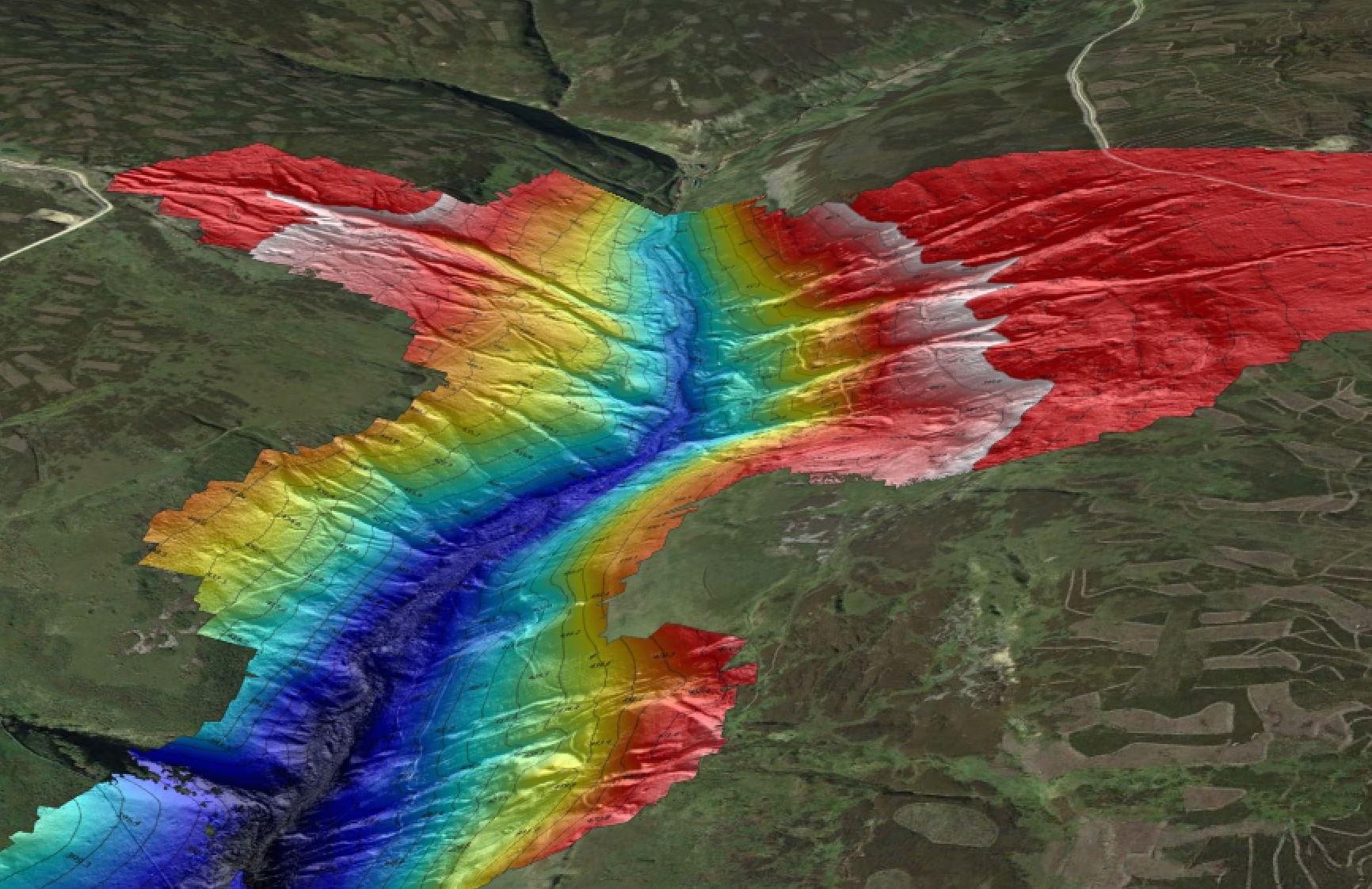
Drone Surveying and Mapping
Our drone survey capability is based on fixed wing and multirotor drones equipped with survey grade GPS. We don’t just stop at providing models, we can provide charts and drawings that fit into your process.
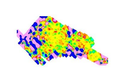
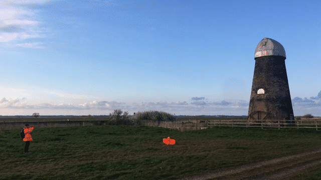
Non-invasive UXO Survey
Fast, effective and accurate drone UXO surveys are possible with our MagDrone. We can identify potential unexploded ordnance locations and also complete these surveys over inaccessible areas where traditional equipment could not be used.
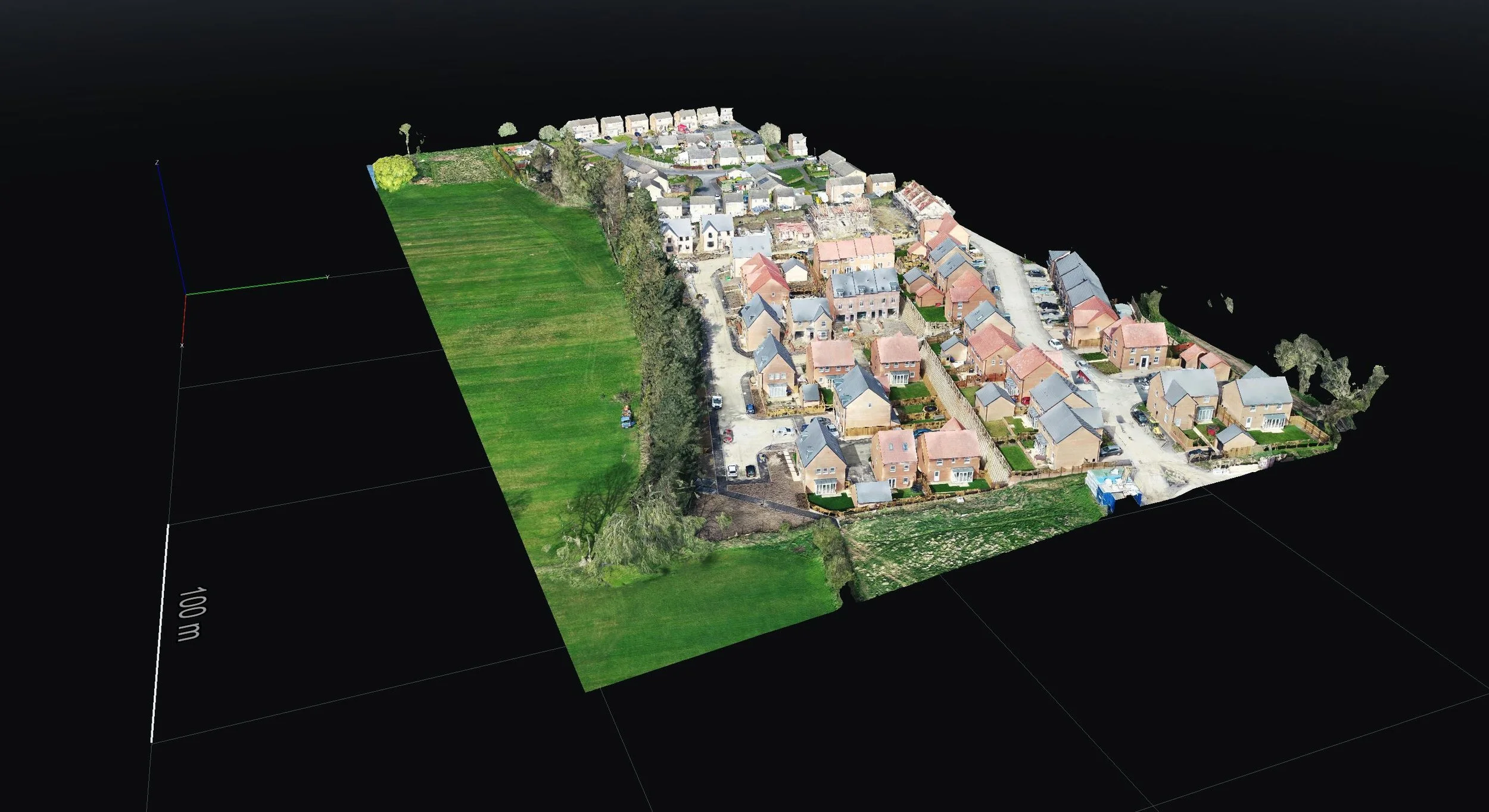
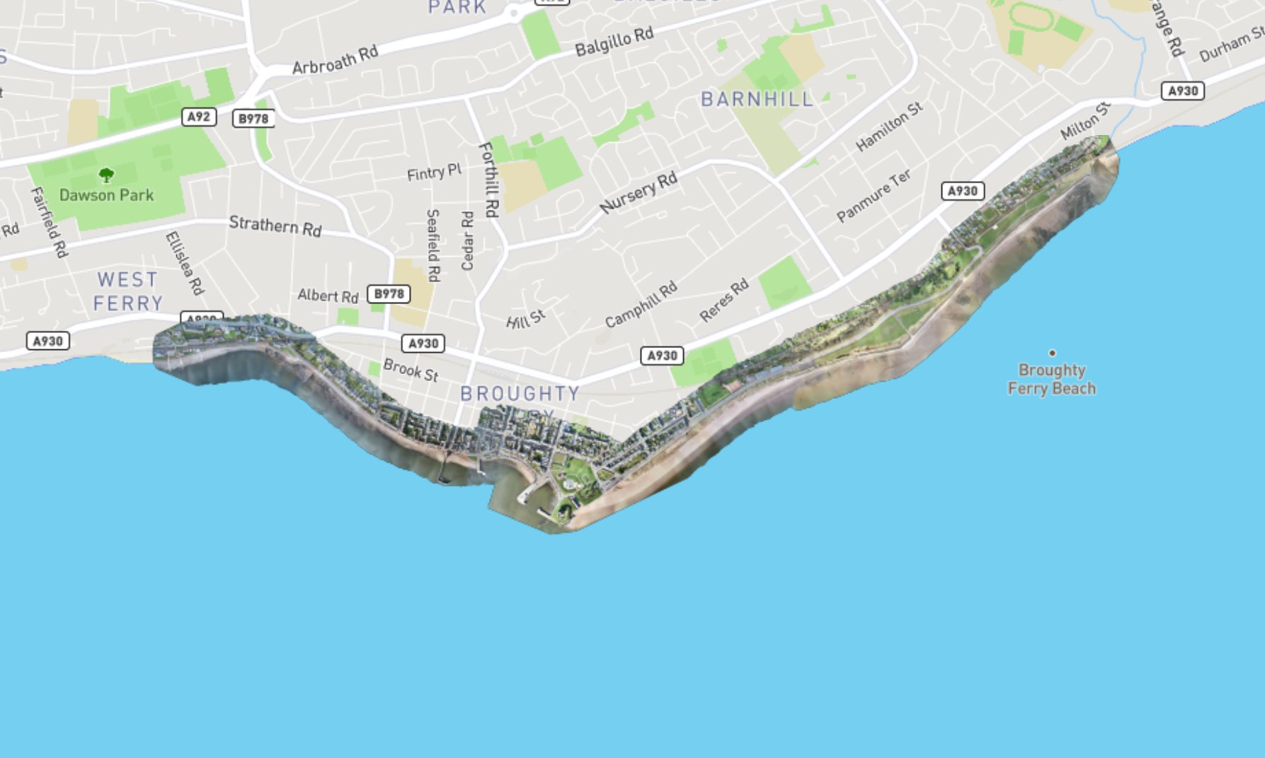
Digital Twins
A digital twin is a virtual replication of a physical object or process. We use our drones act as airborne scanners which can turn buildings/construction sites into 3D models in a process called photogrammetry.
Our Services

Invasive Species Mapping
We apply our drone mapping capability to the identification and zoning of Invasive non-native species (INNS). Using RGB and Multispectral cameras we can quickly capture the current state of a large area and use this data to assist in the management of INNS.

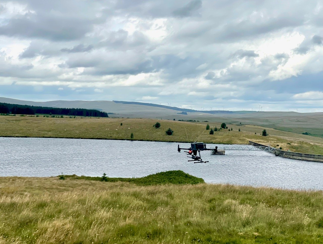
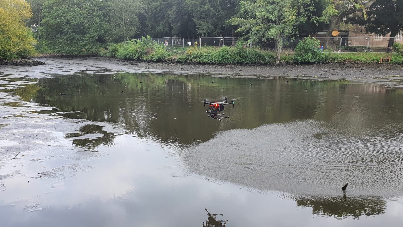
Drone Water Sample Collection
We can quickly and efficiently collect water samples at configurable depths. Our system enables repeatable collection of samples at various depths and detailed lab based analysis of the collected samples.

Thermography
Using calibrated thermal cameras we can enable you to see the world through different eyes - seeing the heat. This technology provides clients with even deeper insight for their inspection or emergency response needs.

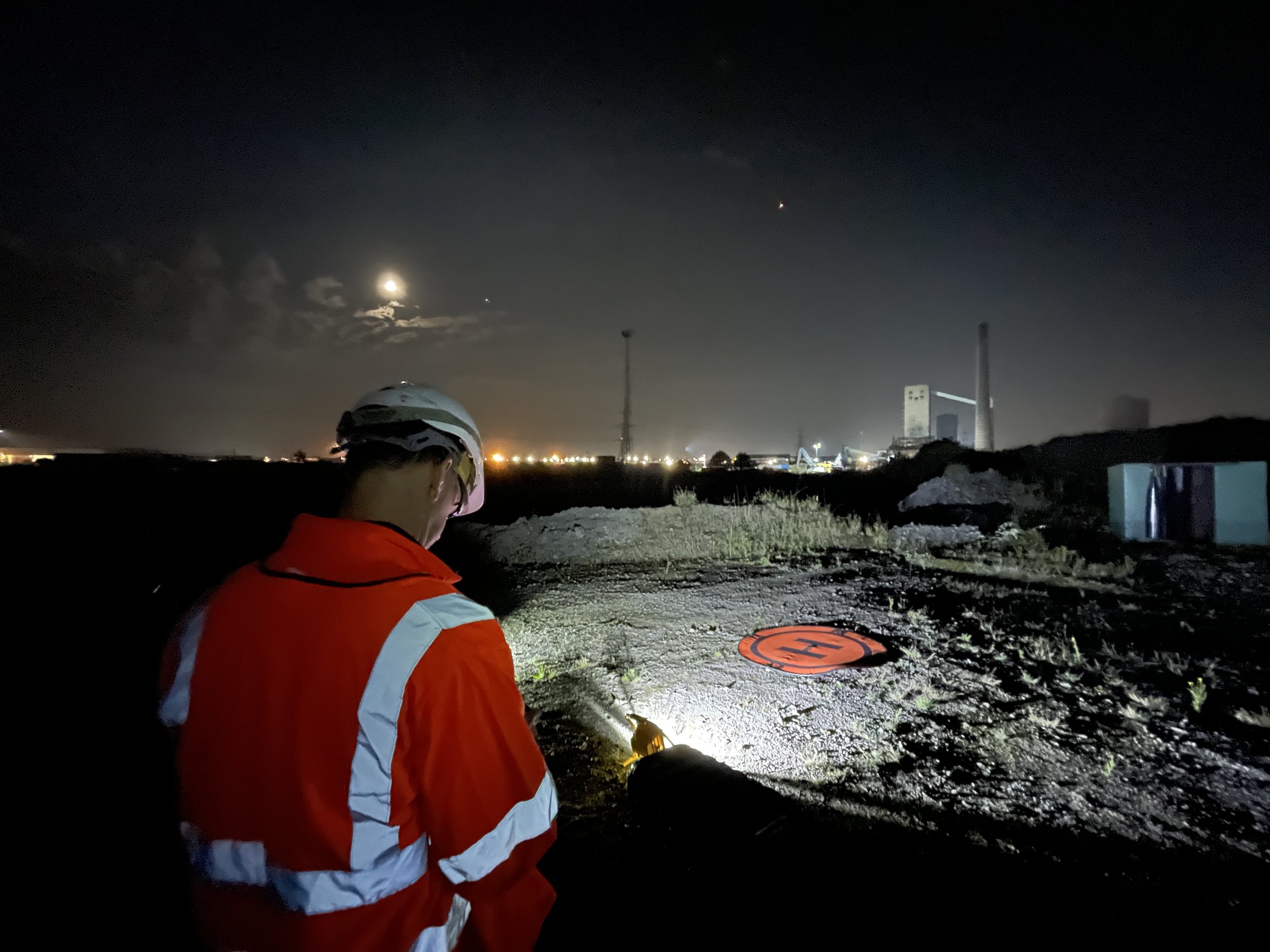
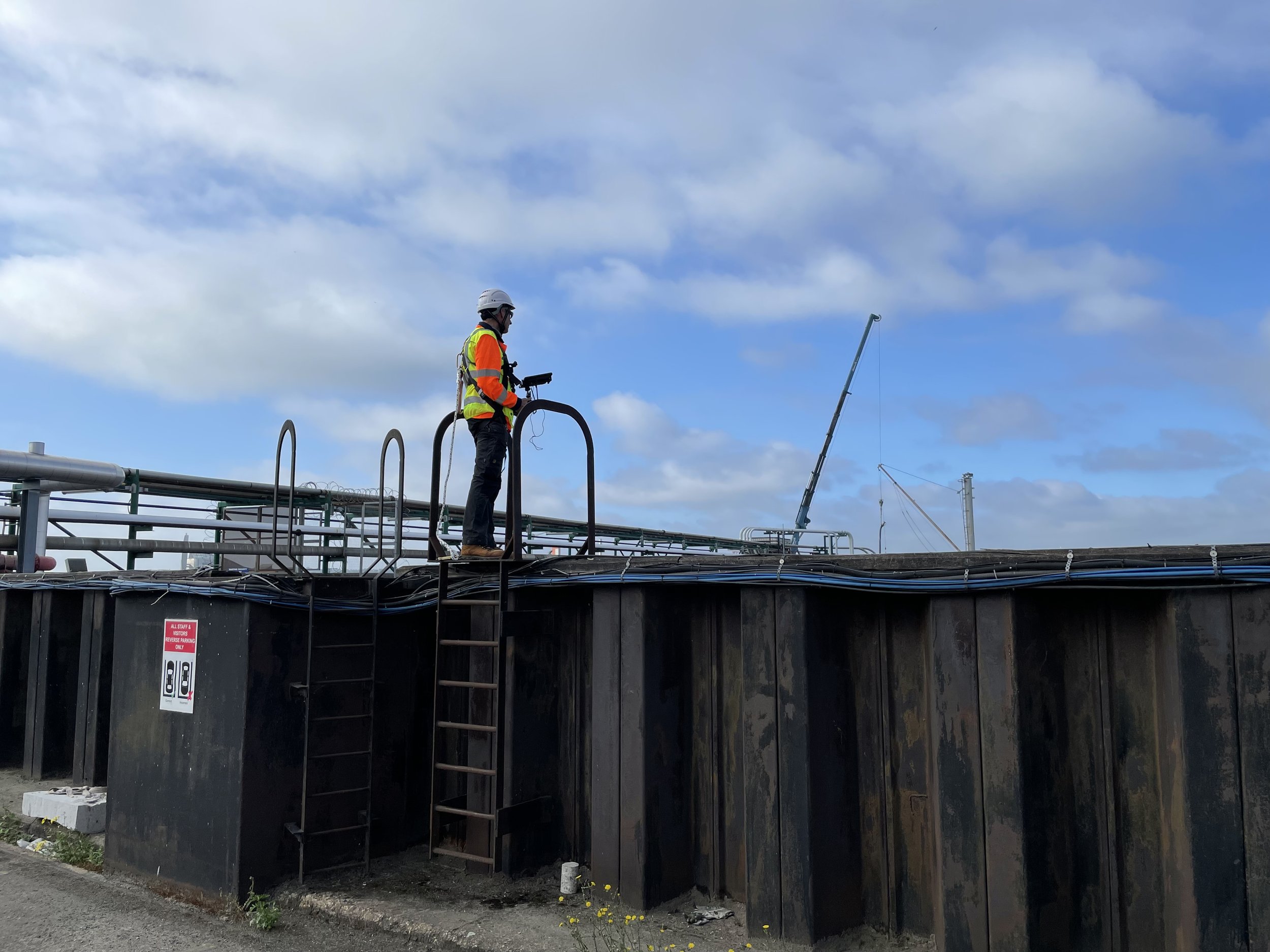
Asset Integrity and Inspection
We have the team and equipment needed to operate in complex environments which often have unseen hazards. Our capabilities in 3D and Thermal Imaging will deliver new insights into your industrial photography needs.


News
The Port of London Authority (PLA) have worked with Droneflight since 2016, contracting them to undertake a range of survey activities in support of PLA and client projects utilising rotor, fixed wing and bespoke survey SUA/Drone platforms.
Droneflight is our go-to contractor for all things relating to SUA/Drone requirements.
John Dillon-Leetch, Port of London Hydrographer